High-water season, safety and time needed
May – Oct (wettest)
Rubbish — No bins; carry it out
About 08:30–16:30
Half a day to a day
7 days ahead
When to go
this week
Tap a day card to see that day’s weather, rain, haze and hourly forecast
Best time to go Fine all day little rain through the day · light drizzle possible at times
Thick morning fog with visibility under 1 km — use headlights and drive slowly
Holiday — traffic on the way up and parking fills fast; leave early
Hour by hour
Green band = hours used for the score
Best time to go Fine all day little rain through the day · light drizzle possible at times
Thick morning fog with visibility under 1 km — use headlights and drive slowly
Holiday — traffic on the way up and parking fills fast; leave early
Hour by hour
Green band = hours used for the score
Best time to go Fine all day little rain through the day · light drizzle possible at times
Thick morning fog with visibility under 1 km — use headlights and drive slowly
Holiday — traffic on the way up and parking fills fast; leave early
Hour by hour
Green band = hours used for the score
Best time to go Best window 06:00–17:00 Little rain · light drizzle possible at times
No warnings today — normal road and weather conditions
Hour by hour
Green band = hours used for the score
Best time to go Best window 06:00–14:00 Little rain · light drizzle possible at times
No warnings today — normal road and weather conditions
Hour by hour
Green band = hours used for the score
Best time to go Best window 06:00–11:00 Little rain · light drizzle possible at times
No warnings today — normal road and weather conditions
Hour by hour
Green band = hours used for the score
Best time to go Fine all day little rain through the day
No warnings today — normal road and weather conditions
Hour by hour
Green band = hours used for the score
Lan Sang National Park
Lan Sang National Park, Mae Tho, Mueang Tak.
- Start the falls walk
- Swim where safe
- Head back before closing
Arrive Before 14:00 if hiking to Pha The
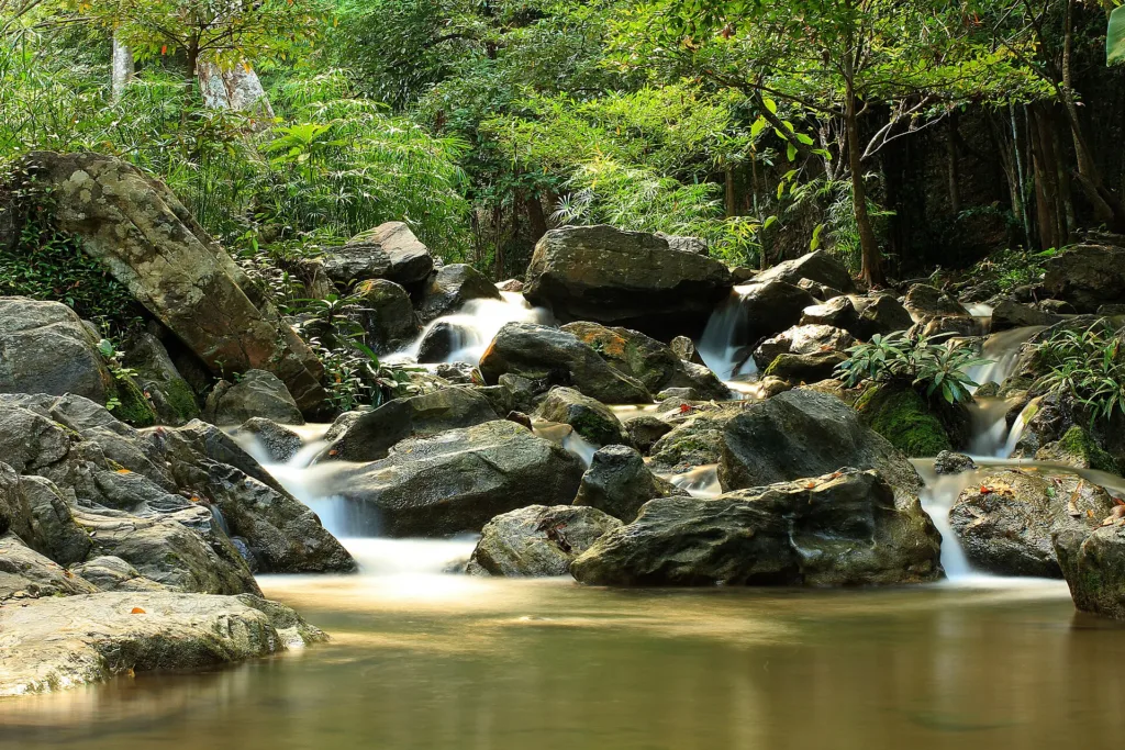
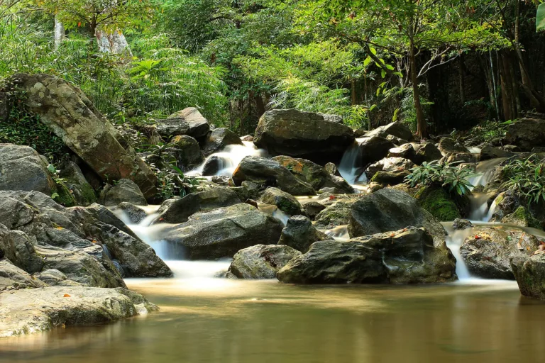
- Lan Sang fallsThree cascades into the poolLate morning
- Pha PhuengSteep cliffLate morning
- Khao NoiView of Tak townEvening
Gallery
Photos from Wikimedia Commons and contributors · full credits inClassic page
Good to know here
No bins; carry it out
No soap or shampoo
Slippery; watch for flash floods
Remote; ask rangers first
- Start early for Pha Phueng and Pha The
- Bring a bag for your rubbish
- Wear grippy shoes
- Carry cash; signal is weak
Adults 40 THB · Car 30 THB · Time needed Half a day to a day
Cool-season holidays
| Thai adult | 40 ฿/person |
| Thai child | 20 ฿/person |
| Foreign adult | 200 ฿/person |
| Foreign child | 100 ฿/person |
| Car | 30 ฿/vehicle |
| Own tent optional | 30 ฿/person/night |
Cash · Prices may change by season — check with the venue
- Kids Yes; Pha Lat, Lan Liang Ma and Lan Sang are close
- Seniors Yes at the falls near the visitor centre
- Wheelchair No accessibility information
- Pets Pets not allowed
- Park restaurantMade-to-order food
- Tak townPlenty of restaurants
- Carry rubbish out
- Stay on trails
- No soap in streams
- Don't feed animals or pick plants
- Slippery in the rains
- Deep pool at Pha Noi
- Flash floods
Best months
Tap a month on the wheel to see weather, rain, haze and crowds from 10 years of records
Best time · Jul–Nov for the falls · Nov–Jan cool for camping
Watch out · Feb–Apr fire and haze season, low falls
18°Jan
19°Feb
23°Mar
24°Apr
25°May
24°Jun
24°Jul
24°Aug
23°Sep
22°Oct
21°Nov
19°Dec
Oct by the records 22–29°C · avg rain 190 mm (23 rainy days) · clear 5 days · avg PM2.5 8
The story of this place
Lan Sang National Park is in Mae Tho subdistrict, Mueang Tak, about 19–20 km west of Tak town on Highway 12 (Tak–Mae Sot, formerly Highway 105), then about 3 km in from the turn-off to the visitor centre — one of the closest parks to Tak town.
Read more 11 more paragraphs
Lan Sang was declared on 14 May 1979, Thailand's 15th national park, covering about 65,000 rai (about 104 km²) — a small park, managed by Protected Area Regional Office 14 in Tak. About 38,900 people visited in 2019.
Legend says that on King Taksin's second campaign against Chiang Mai his troops lost him in dense forest at night, and at dawn ("sang") found him on horseback in the middle of a rock plateau ("lan") surrounded by kneeling Burmese soldiers — hence "Lan Sang". A rock near the falls is said to bear his horse's hoof-print. English Wikipedia says the true meaning is unknown, so this is legend.
The park lies in the Thanon Thongchai range, highest in the west and south and sloping east, topped by Khao Um Yom at about 1,065 m. Streams include Huai Lan Sang, Huai Tha Le, Khlong Huai Sai and Huai Um Yom, and the forest ranges from evergreen and pine to hill evergreen, dry dipterocarp and mixed deciduous.
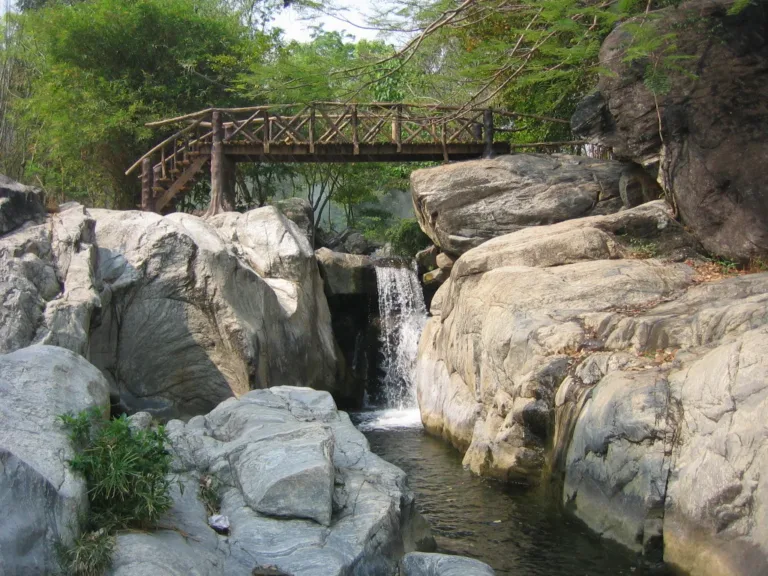
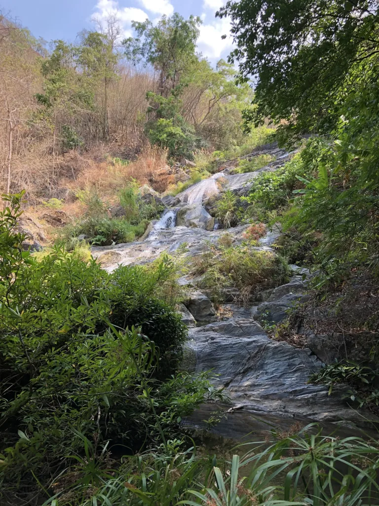
The waterfalls form a chain along Huai Lan Sang, beginning with Pha Lat, a sloping rock sheet about 25 m wide and 40 m long some 200 m from the office; about 200 m further up is Lan Liang Ma, about 5 m high, where water pours through a rock opening about 6 m across.
Lan Sang waterfall, the main fall, is about 40 m high in three cascades into a pool before flowing on to Lan Liang Ma; it is given as 200–500 m from the visitor centre. Wikipedia also lists Pha Ngoep, 19 m, flowing only in the rainy and cool seasons.
About 750 m beyond Lan Sang is Pha Phueng, about 30 m down a cliff of some 70°, and about 1.2 km further along the nature trail is Pha The, a 25 m single drop — roughly 2.2–2.5 km from the office in all. There are also Pha Noi with a deep pool, and the remote 50 m Tha Le falls; ask rangers before going.
Beyond the falls are the Khao Noi viewpoint over the forest and Tak town, reached from the shrine by the visitor centre; the Khao Saen Huang viewpoint; and Doi Pha Daeng, with a seasonal campsite open about 1 November to late February and a cycling route through hill-tribe villages. The big-headed turtle is a stand-out species, along with wild boar, muntjac, serow and flying lizards.
Hmong, Lahu, Lisu and lowland Thai communities live around the park; a 2022 study of 318 hill-tribe households found moderate participation in fire prevention.
A TCI study says about 73% of the park is deciduous forest that burns easily; fire hotspots recorded between 1 January and 31 May numbered 60 in 2017, 30 in 2018, 95 in 2019 and 122 in 2020. About 18 km away is the Tak Highland People Development Centre at Doi Musoe, where Hmong settled from 1925. The shrine on the Khao Noi trail is a local guardian-spirit shrine, not the King Taksin shrine about 20 km away.
Recent events include the widening of Highway 12 to four lanes in 2020; heavy rain on 16–17 October 2021 that sent mud over the highway at Doi Ruak, closing it and stranding some 300 vehicles; the park's reopening after the rainy-season rest on 1 November 2024; and Tak's World Ranger Day ceremony held at the park on 31 July 2026 with 212 rangers.
Admission is 40 baht for Thai adults and 20 for children, 200 and 100 baht for foreigners, plus 30 baht per car; the park opens about 08:30–16:30. There are no bins — visitors are given black bags to carry rubbish out — and soap or shampoo in the streams is forbidden. Bungalows and camping are booked through the DNP system. July–November shows the falls at their best, while November–January is cool and good for camping.
- LegendTroops find King Taksin on a rock plateau at dawn
- 1925Hmong settle at Doi Musoe near the park
- 14 May 1979Declared Thailand's 15th national park
- 2019About 38,900 visitors; management plan in force
- 2020122 fire hotspots in the park (Jan–May)
- 30 Jan 2020Highway 12 widening to four lanes approved
- 16–17 Oct 2021Mud slide over Highway 12 at Doi Ruak
See 4 events
- 7 Jun 2022New DNP fees
- 2022Study of hill-tribe fire-prevention participation
- 1 Nov 2024Reopens after the rains; Doi Pha Daeng camp opens
- 31 Jul 2026Tak World Ranger Day ceremony
Check-ins & visitor photos
Arrived? Check in, collect a stamp and tell others what it is like right now
Check your location first, so you do not fill in the form for nothing
Location must be on and within 3 km · One check-in per place per day · come back on other days to check in again
Post photos from anywhere — no need to be here · Up to 20 photos at a time · JPG / PNG / WebP · GPS location data is removed automatically
How to get there
Four-lane Highway 12; Doi Ruak stretch prone to slides in he…
Highway 12 · Fuel
Drop at the turn-off, then 3 km · By distance
Highway 12 (Tak–Mae Sot) west about 20 km, then left about 3 km
At the visitor centre
Tak town
Weak
About 08:30–16:30
around 23 km fromTak town
Lan Sang National Park
200 THB
Stays near Lan Sang National Park
Approx. nightly price for 2 adults (next week) · final price depends on your dates
FAQ
Before you goLan Sang National Park
Answers travellers want before they go — a one-minute read
How far is it from Tak?
About 20 km on Highway 12, then 3 km in
When was it declared?
14 May 1979, the 15th national park
How tall is Lan Sang falls?
About 40 m in three cascades
How much is entry?
Thai 40/20, foreign 200/100 baht, car 30
Where does the name come from?
A legend of King Taksin found on a rock plateau at dawn
Can I camp?
Yes, at the office and at Doi Pha Daeng (Nov–Feb)
Ready to go to Lan Sang National Park?
Best day this week: Thursday 29 Oct · Check in when you arrive to collect a stamp