 01
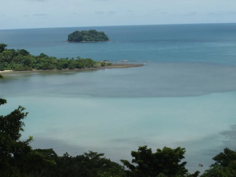
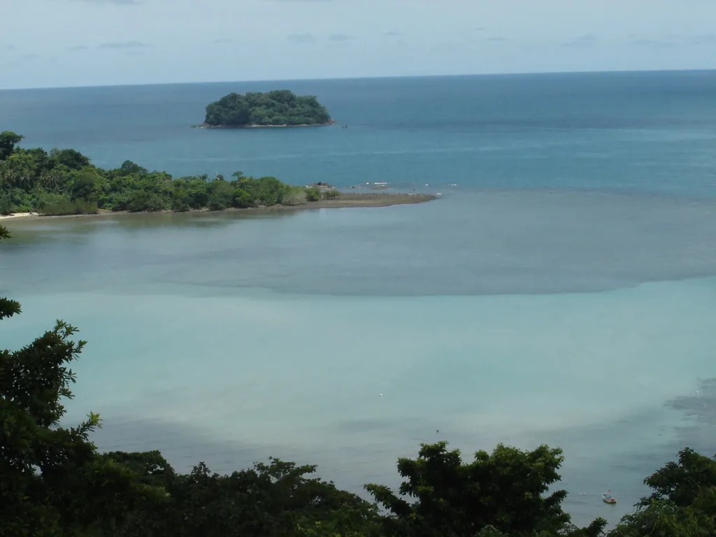
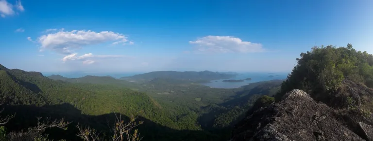
Roadside viewpointsViews over west-coast beaches and offshore islets
Trat · Mu Ko Chang National Park
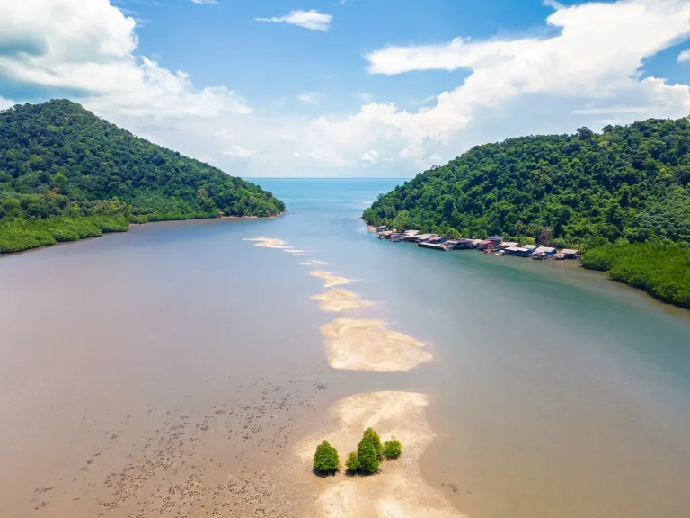
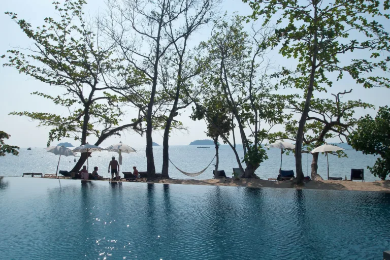
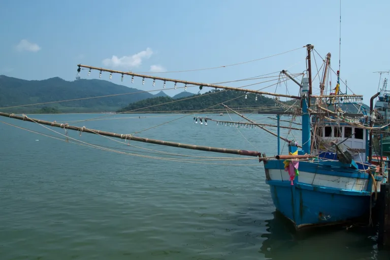
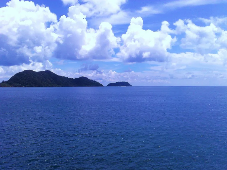
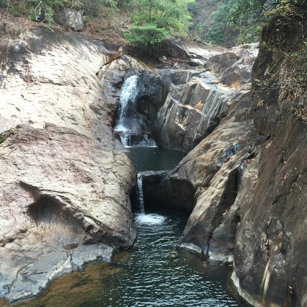
The big mountainous island of Mu Ko Chang National Park in Trat, with west-coast beaches, rainforest waterfalls and stilt fishing villages, reached by ferry from Laem Ngop.
Holiday / event — crowded · Late morning (09:00–12:00): rain ~7% · Just outside the best season
Jun – Sep
The coastal road climbs steep hills with hairpin bends, especially around Kai Bae and Khlong Son; take care on a motorbike or in rain. In the monsoon seas are rough; don't swim when red flags fly.
2–4 days
Good along west-coast beaches and villages; weak in the forest and parts of the far south
01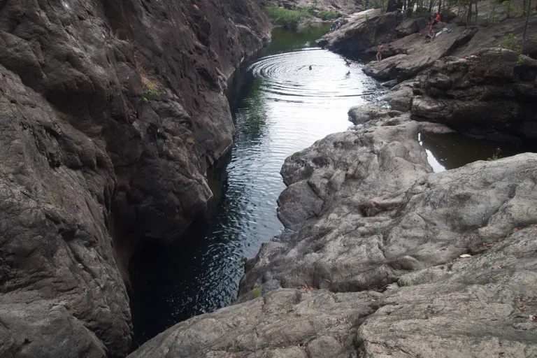 02
 03
 04
Tap a day card to see that day’s weather, rain, haze and hourly forecast
Best time to go Fine all day little rain through the day
Holiday — traffic on the way up and parking fills fast; leave early
Green band = hours used for the score
Best time to go Best window 08:00–19:00 Little rain · light drizzle possible at times
Holiday — traffic on the way up and parking fills fast; leave early
Green band = hours used for the score
Best time to go Fine all day little rain through the day · light drizzle possible at times
Holiday — traffic on the way up and parking fills fast; leave early
Green band = hours used for the score
Best time to go Fine all day little rain through the day · light drizzle possible at times
No warnings today — normal road and weather conditions
Green band = hours used for the score
Best time to go Fine all day little rain through the day
No warnings today — normal road and weather conditions
Green band = hours used for the score
Best time to go Fine all day little rain through the day
No warnings today — normal road and weather conditions
Green band = hours used for the score
Best time to go Best window 06:00–16:00 Little rain
Rain at times — slippery roads, allow extra travel time
Green band = hours used for the score
Scored from cloud cover at every level and tonight’s moonlight — the darker the sky, the clearer the Milky Way · tap another night below for the next 7 nights
Ko Chang is the main island of Mu Ko Chang National Park in Trat, about 30 km long, with west-coast beaches, rainforest waterfalls and stilt fishing villages in the south. King Rama V visited 12 times, and the 1941 Battle of Ko Chang was fought just offshore. Car and passenger ferries cross from Laem Ngop.
Arrive Reach the pier by mid-afternoon (check the last ferry)
Photos from Wikimedia Commons and contributors · full credits inClassic page
Adults 40 THB · Time needed 2–4 days
Long weekends, Songkran, New Year, and early May holidays (very long ferry queues)
| Ferry, adult (from 10 Apr 2026) | 130 ฿/baht |
| Ferry, child/student/monk optional | 70 ฿/baht |
| Car on ferry optional | 280 ฿/baht/vehicle |
| Motorbike on ferry optional | 130 ฿/baht/vehicle |
| Park fee, Thai adult (at fee points) optional | 40 ฿/baht |
| Park fee, Thai child optional | 20 ฿/baht |
| Park fee, foreign adult optional | 200 ฿/baht |
| Park fee, foreign child optional | 100 ฿/baht |
Cash for ferries and small shops; most resorts take cards/transfers; ATMs on the main beaches · Prices may change by season — check with the venue
Battle of Ko Chang remembrance, late January, at the Laem Ngop memorial
Ko Chang Hospital · Emergency 1669 · Tourist Police 1155 · Park office 0 3955 5080
Tap a month on the wheel to see weather, rain, haze and crowds from 10 years of records
Best time · November to March brings calm seas and clear skies for swimming and snorkelling; waterfalls flow best at the end of the rains (Oct–Nov).
Watch out · May–October is the south-west monsoon; Trat is Thailand's wettest province (over 4,500 mm a year), seas are rough and boats to the small islands stop in Aug–Sep. Ferry queues can stretch for kilometres on long weekends.
Oct by the records 20–25°C · avg rain 324 mm (25 rainy days) · clear 1 days · avg PM2.5 6
Ko Chang is the largest island of the Ko Chang archipelago in Trat, about 30 km long and 14 km wide. Wikipedia gives the district 217 sq km (the island about 210 sq km) and ranks it Thailand's third-largest island after Phuket and Samui, while Love Thailand calls it the second-largest after Phuket. Its highest point is Khao Salak Phet at about 744 m. The west coast has long beaches; the east and south hold fishing villages and mangroves.
A local account on GotoKnow says Ko Chang originally had no permanent community and served as a monsoon anchorage and a source of fresh water and supplies. Ao Salak Phet, or "Ao Salat", was known to Hainanese and Vietnamese pirates. Most island elders have Chinese ancestry, so Chinese junk crews are believed to have been the first settlers (an oral tradition, not confirmed by evidence).
Under Rama III, when Siam fought Vietnam from around 1833 for about 12 years, Trat sent men and supplies throughout, and a camp was set up at Ban Laem Hin at the mouth of Trat bay, so the waters around Ko Chang mattered for security early on.
Silpa Wattanatham says King Rama IV was the first Thai monarch to visit Ko Chang, in 1857, aboard the steamer Siam Orasumphon.
King Rama V visited Ko Chang 12 times: in 1873, 1876, 1880, 1881, 1882, 1883, 1884, 1887, 1889, 1900, 1901 and 1907. Early trips were for leisure and nature; later ones had security motives, such as setting up a naval station in 1879 to suppress pirates and counter Western powers that already held Vietnam and Cambodia.
Than Mayom Waterfall was originally called Khlong Mayom Waterfall. MGR Online says Rama V visited it nine times, and his royal monogram "Chor Por Ror" is inscribed there. In 1876 he built a stone cairn as a memento, with a letter recording visits in the Chula Sakarat years 1235 and 1238, but later searches found no trace of it. Love Thailand adds that Rama VII and Queen Rambhai Barni also visited.
In 1904 France occupied Trat, after which Rama V did not visit Trat again until Siam regained the town in 1907; his last visit to Ko Chang was on 14 November 1907.
At dawn on 17 January 1941 the Battle of Ko Chang was fought during the Franco-Thai dispute over Indochina. Silpa Wattanatham says Thailand had three ships, HTMS Thonburi, Chonburi and Songkhla, against seven French vessels; Thailand lost all three and 36 sailors. Japan then mediated, and a peace convention was signed in Tokyo on 9 May 1941. The Royal Thai Navy marks the day as Navy Heroes Day, with a memorial at Laem Ngop.
Accounts of the losses differ slightly. Thai Holiday Guide says HTMS Songkhla and Chonburi were sunk while HTMS Thonburi was disabled and ran aground. On Ko Chang itself a modest memorial with plaques stands in Ko Chang Tai near Ao Salak Phet, facing where the ships went down, while the main memorial at Laem Ngop has a ship-shaped building and a statue of Prince Abhakara Kiartivongse (Krom Luang Chumphon). Wreath-laying ceremonies are held at both every 17 January.
French losses remain debated. France maintained its ships were undamaged, but an article by Montchai Rabruentaweesuk in Silpa Wattanatham (January 2021) gathers Thai sailors' testimony and the 1955 edition of Jane's Fighting Ships, which says the cruiser La Motte-Picquet was "damaged by gunfire". The claim of a cover-up is the author's interpretation of circumstantial evidence, not official French records.
Tourism came relatively late. Wikipedia says foreign backpackers began arriving in the mid-1970s, before resorts spread along west-coast beaches such as White Sand Beach, Khlong Phrao, Kai Bae and Lonely Beach.
A 2001 Chulalongkorn University thesis by Dokor Panadit divides Ko Chang's tourism into three periods: little development before 1985, a boom in bungalows and hotels from 1986 to 1996, and a wider range of facilities from 1997. White Sand Beach was hit hardest, followed by Khlong Phrao and Kai Bae; land use was the most damaging impact and the root of other problems. The study recommended development, controlled and conservation zones, plus better waste and water systems.
The state stepped in through the Designated Areas for Sustainable Tourism Administration (DASTA). C9 Hotelworks reported on 23 October 2011 that DASTA had drawn up a five-year tourism master plan for Ko Chang and nearby islands, with a budget of about 340 million baht focused on green, sustainable development.
In 1982 Ko Chang and its neighbouring islands were declared Mu Ko Chang National Park, Thailand's 45th, covering about 406,250 rai (650 sq km), some 70% of it sea, with about 85% of Ko Chang inside the park. Sources give between 43 and more than 50 islands.
Administratively, Ko Chang was split from Laem Ngop as a minor district on 30 April 1994 and became a full district in 2007 with all other minor districts (Royal Gazette, 24 August 2007). It has two subdistricts, Ko Chang and Ko Chang Tai, with its centre at Ban Dan Mai on the east coast, and about 8,538 residents in 2019.
As land values rose, so did disputes over park land. In April 2021 a post offered 298 rai on Ko Wai for 350 million baht; Thai PBS reported that only about 8 rai had title deeds, the rest being park forest, and the national parks department ordered an investigation under the 2019 National Parks Act.
At the southern tip, the Bang Bao community became the launch point for snorkelling trips to Ko Wai and Ko Rang. MGR Online reported over the 2012 Coronation Day holiday that island rooms were more than 90% full, the Bang Bao pier walkway had over 60 shops, some earning 4,000–5,000 baht a day, with Ko Chang shrimp paste and seafood the best sellers, and that the return trip saw 5–6 km queues and 3–4-hour waits for the ferry, showing holiday ferry jams date back at least to then. In the May–September monsoon some shops close and reopen around October.
In 2026, diesel at 47.74 baht a litre led Trat to approve the first Ko Chang ferry fare rise since 2016, effective 10 April 2026: adults from 80 to 130 baht and cars from 120 to 280 baht. Over the early-May 2026 long weekend, queues to board stretched 5–7 km; on 1 May alone one pier carried 24,001 passengers and 2,315 vehicles in 69 trips, prompting calls for a second ferry port.
Arrived? Check in, collect a stamp and tell others what it is like right now
Check your location first, so you do not fill in the form for nothing
Location must be on and within 3 km · One check-in per place per day · come back on other days to check in again
Post photos from anywhere — no need to be here · Up to 20 photos at a time · JPG / PNG / WebP · GPS location data is removed automatically
Bangkok to Trat town is about 300 km, then on to the Laem Ng…
Bangkok → Trat → Laem Ngop pier → ferry · Fuel + 280 baht car fare
Bangkok → Trat, then songthaew to the pier · Per operator
Bangkok → Trat Airport, then about 17 km to the pier · Per airline
Songthaews around the island, or rent a motorbike/car · Agree the fare first
Motorway/Sukhumvit Rd and Hwy 344 to Trat, then on to the Laem Ngop pier
Car parks at the Laem Ngop piers, or take your car on the ferry
Stations in Trat town and on Ko Chang
Good along west-coast beaches and villages; weak in the forest and parts of the far south
Island open year-round · park fee points (waterfalls) follow park opening hours
around 320 km fromBangkok
Ko Chang
200 THB
Approx. nightly price for 2 adults (next week) · final price depends on your dates
Answers travellers want before they go — a one-minute read
Laem Ngop in Trat; adult fare 130 baht (from 10 April 2026)
About 30 km long and 14 km wide, roughly 210–217 sq km
At fee points: Thai 40/20 baht, foreigners 200/100 baht (adult/child)
November–March, with calm seas and clear skies; avoid the May–October monsoon
A naval battle between Thailand and France on 17 January 1941; Thailand lost three ships and 36 sailors
Best day this week: Wednesday 28 Oct · Check in when you arrive to collect a stamp