Rainy season, safety and preparation
May – Sep
Falls — Flash floods after rain
Half a day, or 2 days (Khao Chang Phueak)
None in places
6 days ahead
When to go
this week
Tap a day card to see that day’s weather, rain, haze and hourly forecast
Best time to go Fine all day little rain through the day · light drizzle possible at times
Thick morning fog with visibility under 1 km — use headlights and drive slowly
Holiday — traffic on the way up and parking fills fast; leave early
Hour by hour
Green band = hours used for the score
Best time to go Best window 06:00–15:00 Little rain
Thick morning fog with visibility under 1 km — use headlights and drive slowly
Holiday — traffic on the way up and parking fills fast; leave early
Hour by hour
Green band = hours used for the score
Best time to go Best window 06:00–16:00 Little rain · light drizzle possible at times
Thick morning fog with visibility under 1 km — use headlights and drive slowly
Holiday — traffic on the way up and parking fills fast; leave early
Hour by hour
Green band = hours used for the score
Best time to go Best window 06:00–16:00 Little rain · light drizzle possible at times
Thick morning fog with visibility under 1 km — use headlights and drive slowly
Hour by hour
Green band = hours used for the score
Best time to go Best window 06:00–14:00 Little rain · light drizzle possible at times
Thick morning fog with visibility under 1 km — use headlights and drive slowly
Hour by hour
Green band = hours used for the score
Best time to go Fine all day little rain through the day
Thick morning fog with visibility under 1 km — use headlights and drive slowly
Hour by hour
Green band = hours used for the score
Starry sky
How likely
Scored from cloud cover at every level and tonight’s moonlight — the darker the sky, the clearer the Milky Way · tap another night below for the next 7 nights
Thong Pha Phum National Park
Thong Pha Phum National Park, Pilok, Thong Pha Phum, Kanchanaburi.
- Cool
- Good light on the falls
- Near closing
Arrive 15:30
Morning mist Nov–Jan
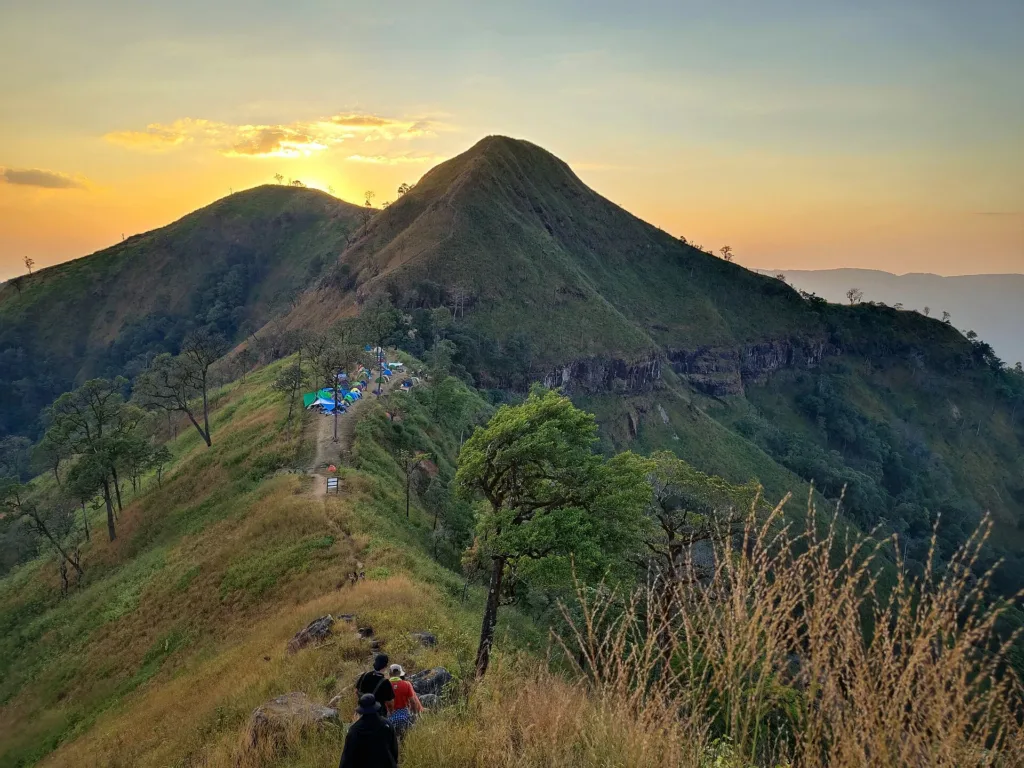
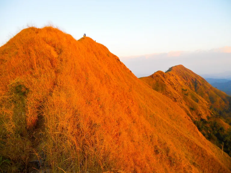
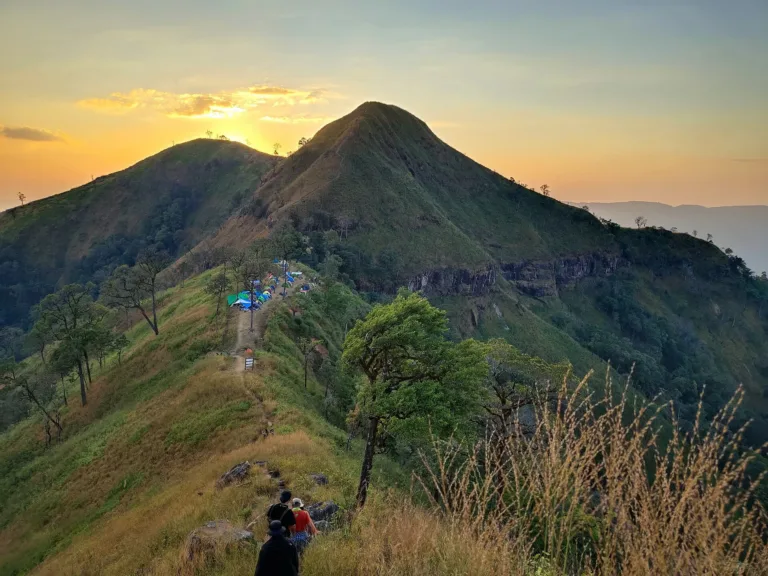
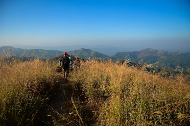
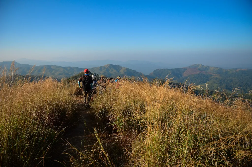
- Knife-edge ridgeRidge viewEvening
- Khao Chang Phueak summit360° viewMorning
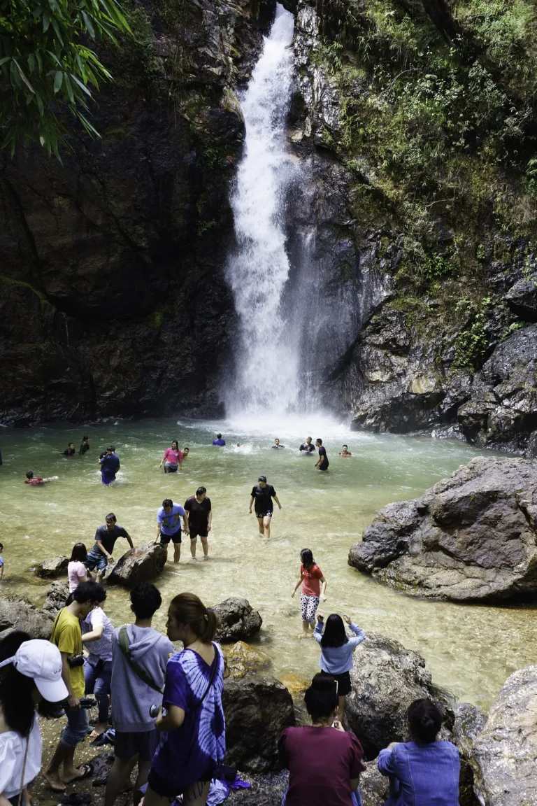
- Jok Kradin FallsThe dropMidday
Gallery
Photos from Wikimedia Commons and contributors · full credits inClassic page
Good to know here
Flash floods after rain
Many curves; no fuel up top
- Book the trek from mid-October
- Fill up in town
- Check the park page before swimming
Adults 40 THB · Car 30 THB · Time needed Half a day, or 2 days (Khao Chang Phueak)
Trek season Nov–Jan
| Thai child optional | 20 ฿ |
| Foreign child optional | 100 ฿ |
| Khao Chang Phueak trek optional | Pay as you like |
Cash · Prices may change by season — check with the venue
- Kids Falls fine; trek from age 13
- Seniors Falls 300 m walk; trek up to age 70
- Wheelchair Not suitable
- Pets Not allowed
- E-Thong village restaurantsThai-Burmese food
- Thong Pha Phum townRestaurants
- No foam, alcohol or single-use plastic on the trek
- Use the park's biodegradable toilet bags
- Don't feed wildlife
- Flash floods
- Wild elephants
- Winding road
Khao Chang Phueak trek season 1 Nov 2026–31 Jan 2027
Best months
Tap a month on the wheel to see weather, rain, haze and crowds from 10 years of records
Best time · Nov–Jan trek season, cold, misty
Watch out · Feb–Apr fire and haze · heavy rain brings flash floods
18°Jan
18°Feb
20°Mar
21°Apr
21°May
21°Jun
21°Jul
21°Aug
20°Sep
20°Oct
20°Nov
18°Dec
Oct by the records 20–26°C · avg rain 213 mm (24 rainy days) · clear 2 days · avg PM2.5 7
The story of this place
Thong Pha Phum National Park's headquarters sits in the E-Thong forest, Pilok, Thong Pha Phum, Kanchanaburi, about 8 km before E-Thong village on Route 3272 — 60–65 km from Thong Pha Phum town and about 200 km by road from Kanchanaburi. It covers about 772,214 rai across parts of Thong Pha Phum and Sangkhla Buri districts.
Read more 4 more paragraphs
The land was part of the Pilok mining area from 1940 until the mines shut after the 1985 tin-price crash. Conservation planning in the Western Forest Complex began in 1991, and it was declared Thailand's 114th national park on 23 December 2009. Its forests range from dry evergreen to hill evergreen and mixed deciduous, with about 149 bird species including the great hornbill, and wild elephants.
Jok Kradin Falls is a single drop of about 30–34 m into a 3–4 m-deep pool, 300 m from the car park and 5–7 km from E-Thong; swimming is possible in the dry season. In July 2026 flash floods hit it and the park warned against swimming. Note that Huai Mae Khamin Falls is not in this park but in Khuean Srinagarindra National Park.
Khao Chang Phueak, 1,249 m, is the park's highest point: an 8 km trail each way, 4–6 hours, camping on the summit over two days and one night, with a knife-edge ridge. It takes 60 people a day, aged 13–70; foam, alcohol, pets and single-use plastic are banned. It opens only November–January: the 2026/27 season runs 1 November 2026 to 31 January 2027, booked through a Google Form posted on the park's Facebook page, with the first round opening on 16 October 2026 at 10:00.
Fees: Thai adults 40, children 20; foreigners 200/100; cars 30 baht. The falls open 08:00–17:00. Route 3272 has more than 300 curves and no fuel stations on the upper stretch, so fill up in town; parts have no phone signal, and wild elephants may be on the road. The park had about 123,285 visitors in 2024. Contact it via its Facebook page or on 034-510-979.
- 1940–91Pilok mining era
- 1991Western Forest Complex planning begins
- 23 Dec 2009Declared the 114th national park
- 1 Feb 2024Khao Chang Phueak closed for fire risk
- Jul 2026Flash flood at Jok Kradin
- 1 Nov 2026–31 Jan 2027Khao Chang Phueak trek season
Check-ins & visitor photos
Arrived? Check in, collect a stamp and tell others what it is like right now
Check your location first, so you do not fill in the form for nothing
Location must be on and within 2.0 km · One check-in per place per day · come back on other days to check in again
Post photos from anywhere — no need to be here · Up to 20 photos at a time · JPG / PNG / WebP · GPS location data is removed automatically
How to get there
Mountain road with 300+ curves
Route 3272 · Fuel
Route 3272, 300+ curves
At HQ and the falls
Thong Pha Phum town
None in places
Falls 08:00–17:00 · office 08:00–16:30
around 62 km fromThong Pha Phum town
Thong Pha Phum National Park
200 THB
Stays near Thong Pha Phum National Park
Approx. nightly price for 2 adults (next week) · final price depends on your dates
FAQ
Before you goThong Pha Phum National Park
Answers travellers want before they go — a one-minute read
When does Khao Chang Phueak open and how do I book?
1 Nov 2026–31 Jan 2027, via the Google Form on the park's page
How much is entry?
40 baht Thai, 200 foreigner
Can I swim at Jok Kradin?
In the dry season; beware flash floods in the rains
Can children do the trek?
From age 13
Is Huai Mae Khamin here?
No, it is in Khuean Srinagarindra NP
Where is HQ?
About 8 km before E-Thong
Ready to go to Thong Pha Phum National Park?
Best day this week: Monday 26 Oct · Check in when you arrive to collect a stamp